From how far away did this water come?
I think of its sources; blended, mixed, combined.
Thunderstorms and showers, snow and ice.
Tributaries, trout streams, and small creeks.
I see the collected current become this silent river.

Listen:

Bear Creek is somewhere in there.
Rogue River is wrapped within.
The Flat River enters at Lowell.
The Thornapple approaches from the south.
Add more from the Michigan map.

Their distinct voices are blended
into this flowing stillness.
The Grand River is carrying its
silent chorus
into Lake Michigan.

I am only saying:
pay attention to the
short history of rivers.
Each river day appears the same,
unless you account for:

the mix of molecules,
the surrounding land,
the gradient of light,
the depth of the water,
this new day.

This long linear ribbon of living current.
Always the same. Never the same.
Like time pulling you along,
when you want to wait
in this interval of now.
© 2014 Richard Havenga

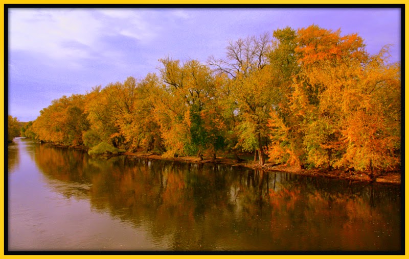
Photo Locations:
1, 7, & 8 = Grand River - Kent County, Michigan
2 & 5 = Flat River - Kent County, Michigan
3. Bear Creek - Townsend Park (Townsend) - Kent County, Michigan
4. Rogue River - Rockford Dam (Rockford Dam) - Rockford, Michigan
6. Thornapple River - Ada / Cascade, Michigan
No comments:
Post a Comment
VISITORS:
Please write a comment in the white box. I value your thoughts. I will reply to all who write.
When finished, sign your name, click down arrow, select "Name/URL", or "Anonymous", then click "Publish". Thank you.